North IslandWaikato
Pirongia · Tirohanga Track
Climb through forest and over rocky ridges to Pirongia’s summit.
6.5 kmDOC-listed route · One way
The trail
Corcoran Road, Pirongia Forest Park
From Corcoran Road, the route passes Ruapane Trig and Tirohanga Bluff before reaching the summit. Pāhautea Hut lies another 30 minutes beyond the summit.
Before you go
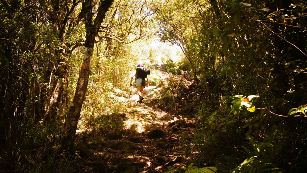
- Rocky sections have chains and steep drops. Carry water and prepare for mud after rain.
- Mahaukura, Bell and Wharauroa routes remain closed. Do not plan the advertised Mahaukura return circuit.
- Book Pāhautea Hut or its campsite if staying overnight.
Source checked .
Check official trail informationMap reference
Pirongia · Tirohanga Track map area
This point shows the trail area. Use the official trail information to plan your starting point.
View map referenceTrail information sourceDepartment of Conservation
Keep exploring