North IslandWaikato
Great Lake Trails · Waihāhā & Waihora
Follow forest trails above the Waihāhā River and western bays of Lake Taupō.
13 + 17 kmTwo connected one-way sections
The trail
Western Lake Taupō
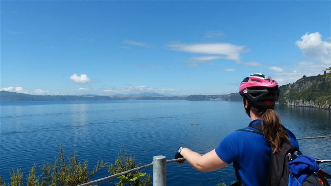
The 13 km Waihāhā section connects SH32 to Waihāhā Road. The 17 km Waihora section continues to Waihora Bay, passing volcanic rock formations and lake viewpoints.
Before you go
- Arrange a boat transfer from Waihora Bay in advance if finishing there, or plan to return on the trail.
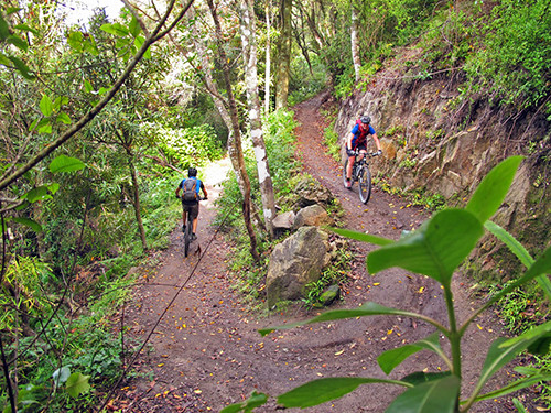
- Expect steep and narrow sections with drops beside the trail. Carry repair equipment and prepare for limited phone coverage and changing weather.
- The listed distances and riding times describe the separate sections, not a return trip.
Source checked .
Check official trail informationMap reference
Waihāhā and Waihora trails area
This point shows the trail area. Use the official trail information to plan your starting point.
View map referenceTrail information sourceDepartment of Conservation
Keep exploring