North IslandWaikato
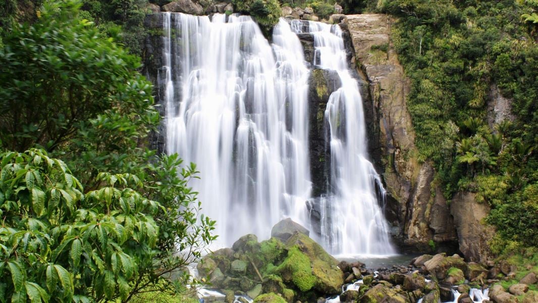
Marokopa Falls
A short forest trail leads to a platform facing the 35-metre falls.
600–700 mReturn via same route
The trail
Te Anga Road, Waitomo district
The route descends through native forest to designated views of the Marokopa River falling over a greywacke rock ledge. Access is from a small car park on Te Anga Road.
Before you go
- Expect some stairs and mud after rain.
- Stay behind barriers and within the designated viewing areas.
Source checked .
Check official trail informationMap reference
Marokopa Falls map area
This point shows the trail area. Use the official trail information to plan your starting point.
View map referenceTrail information sourceDepartment of Conservation
Keep exploring