North IslandManawatū-Whanganui · Waikato
Tongariro Alpine Crossing
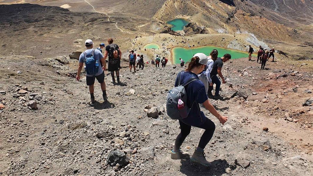
An alpine crossing through volcanic craters and past the Emerald Lakes.
20.2 kmOne-way alpine crossing
The trail
Mangatepōpō to Ketetahi, Tongariro National Park
The route climbs from Mangatepōpō Valley to Red Crater before descending towards Ketetahi. It requires high fitness and preparation for rapidly changing mountain weather. Winter conditions require alpine skills and equipment.
Before you go
- Book with DOC. Booking is required when using a shuttle or guided service. Check daily weather advisories.
- Stay on the track and out of fire-affected land covered by a restorative rāhui.
- Arrange transport; summer road-end parking limits do not allow time for the full crossing.
Source checked .
Check official trail informationMap reference
Tongariro Alpine Crossing map area
This point shows the trail area. Use the official trail information to plan your starting point.
View map referenceTrail information sourceDepartment of Conservation
Keep exploring