South IslandOtago · Southland
Routeburn Track
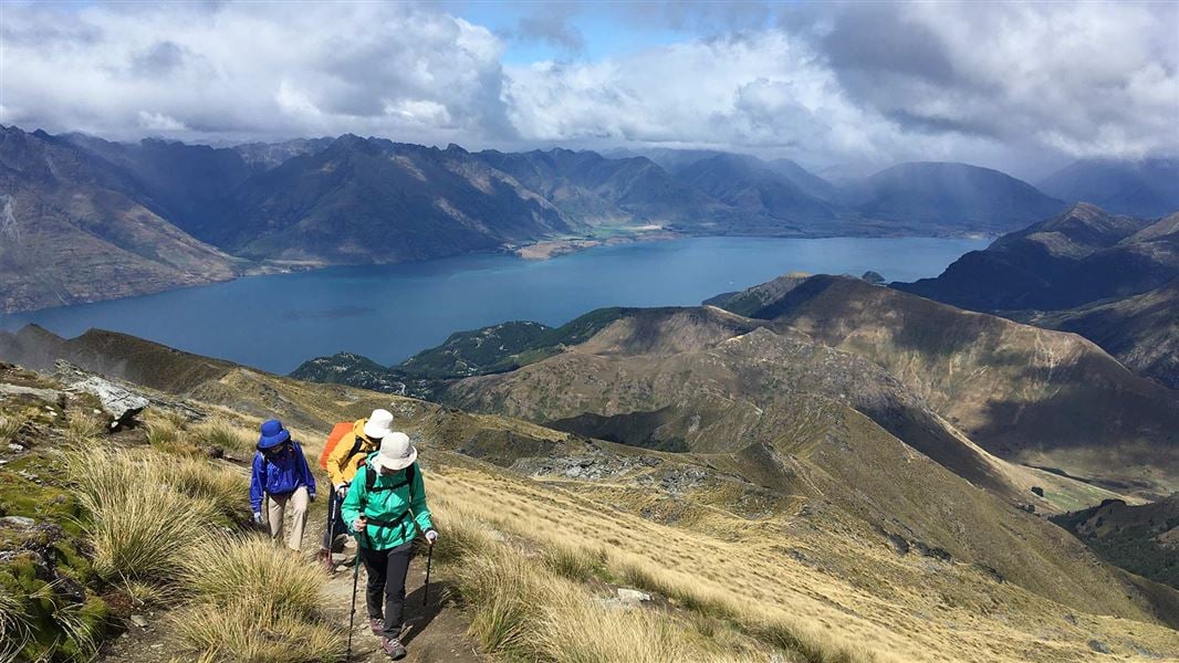
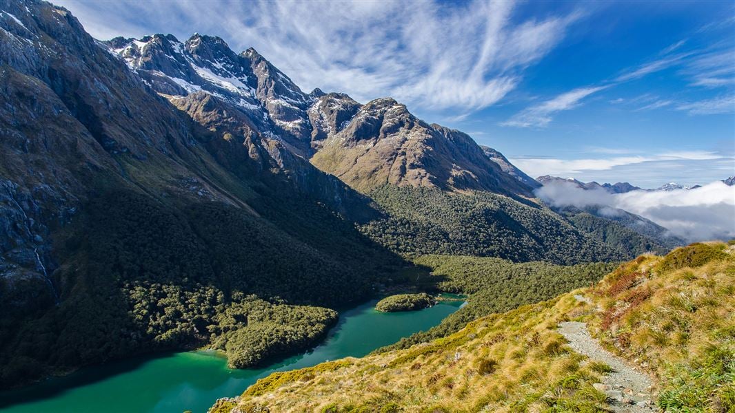
Beech forest, alpine lakes and a crossing of the Harris Saddle.
33 kmOne way
The trail
Mount Aspiring and Fiordland national parks
The Routeburn connects the Routeburn Shelter near Glenorchy with The Divide on the Milford Road. Its trailheads are far apart by road, so organise transport before starting.
Before you go
- Book huts and campsites for the Great Walks season.
- Outside the Great Walks season, alpine experience and equipment are needed. Check DOC’s seasonal guidance and bookings.
Source checked .
Check official trail informationMap reference
Routeburn Track area
This point shows the trail area. Use the official trail information to plan your starting point.
View map referenceTrail information sourceDepartment of Conservation
Keep exploring