South IslandOtago
Rob Roy Track
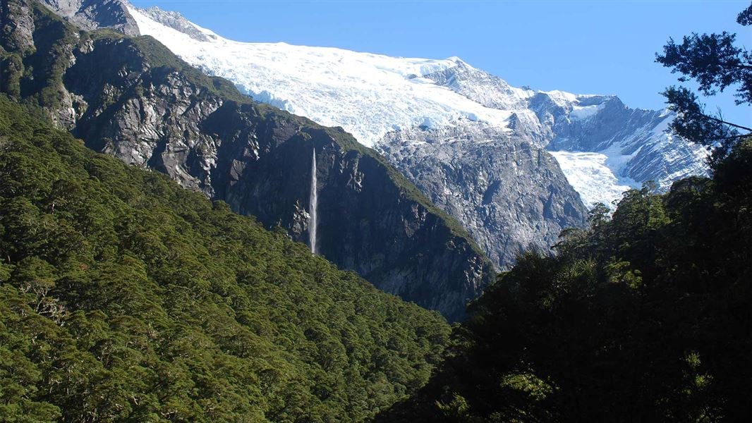
A forest trail leading to viewpoints of Rob Roy Glacier.
10 kmReturn
The trail
Matukituki Valley, South Island
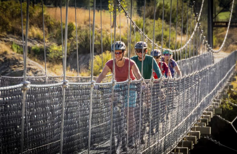
Start at Raspberry Creek car park in the Matukituki Valley. The route crosses a swing bridge and climbs through forest towards glacier viewpoints.
Before you go
- Avalanches can cross the upper trail from May to November. DOC strongly recommends stopping at the lower lookout during those months.
- Check the access road and fords before travelling; heavy rain can affect access.
Source checked .
Check official trail informationMap reference
Rob Roy Track area
This point shows the trail area. Use the official trail information to plan your starting point.
View map referenceTrail information sourceDepartment of Conservation
Keep exploring